














The Lycian Way: Route, Best Sections, Season and Fire Restrictions
Turkey's first long-distance trail from Fethiye to Antalya — roughly 760 km, the best sections, waymarking, where to sleep, water, and the summer forest-entry bans.
The Lycian Way was Turkey's first waymarked long-distance footpath. It runs from Fethiye to Antalya along the Mediterranean coast, through ancient cities, pine forest, mountain villages and coves. Some people walk the whole thing; most pick a section of a few days. This guide covers the route, the best sections, the right season, the waymarking, and the fire restrictions you need to know about before you plan.
What it is, and how long
The route was researched and waymarked by Kate Clow in 1999 and is maintained today by the Culture Routes Society. It follows old Roman roads, footpaths and mule tracks. You will see different lengths quoted online, because the route has grown alternative branches over the years; the society's current figure is roughly 760 km and 35 days of walking including the branches. It starts at Ölüdeniz near Fethiye and ends at Geyikbayırı, west of Antalya.
-
Recipes
Ingredient lists, step-by-step method, time and servings. Browse by category from soups to desserts, or search for what you need.
See recipes → -
How-to guides
From phone settings to paperwork, account security to everyday problems: numbered steps with an estimated time for each guide.
See the guides → -
Software archive
Browsers, security tools, office and media software. Every entry says what it does, which version it is and where to download it.
Browse software → -
Voice and video chat
Group video rooms, one-to-one voice calls and live streaming. Runs in the browser — no plugin, no app, nothing to install.
Enter the rooms →
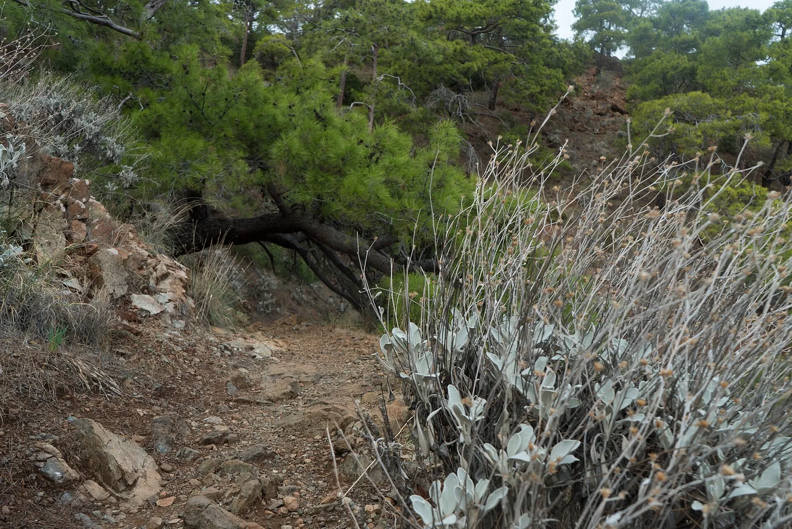
The ground is mostly stony and steep. This is not an easy coastal stroll, and the society notes it is not suitable for mountain biking.
The best-known sections
Ölüdeniz – Faralya – Kabak
The opening section climbs from the lagoon along the flank of Babadağ, passes Faralya above Butterfly Valley and drops to Kabak bay. The most photographed part of the trail, and the easiest to reach from Fethiye.
Patara – Kalkan – Kaş
Passing close to the ancient cities of Xanthos and Letoon before descending to Patara's long beach. The Kalkan–Kaş stretch is the most practical for short walks: sea views, and towns at either end.
Kaş – Üçağız – Demre
The most "archaeological" part of the trail, above the sunken ruins around Kekova and through ancient Simena and Aperlai. Around Demre the network links to Byzantine monasteries on the St Nicholas routes.
Olympos – Çıralı – Tahtalı
In the east, past ancient Olympos and the natural flames of Yanartaş above Çıralı, the route climbs. Some stages here are high and remote, with no village to sleep in — plan these carefully.
Season — and the fire closures
The Culture Routes Society recommends February–May and September–November. In summer, heat on the shadeless, waterless sections makes walking genuinely dangerous.
One warning that catches visitors out: during fire season, provincial governorates restrict entry to forests. As of September 2026, a general order from the Muğla governorate bans entry to forested areas including Kayaköy–Ölüdeniz, Faralya–Butterfly Valley and Babadağ between 1 June and 31 October 2026 — the text explicitly notes that the Lycian Way passes through them. Antalya issued a comparable circular for 2026 covering 1 May to 31 October and restricting forest walking routes. If you are planning to walk in September or October, check the current decision of the relevant governorate for your section. These orders are reissued every year and the dates change.
Waymarking and navigation
The route is marked with red-and-white painted stripes on rocks and trees. Marks are frequent on the footpath, sparser on dirt roads and at junctions. A red cross means do not go that way; there are signposts in places.
Paint fades, new roads and construction cut the path. Do not rely on the marks alone: carry the society's guidebook and maps, or an offline map with the route drawn on it — the routes also appear on OpenStreetMap.
Sleeping, water and transport
According to the society, apart from three high sections you can sleep each night in a village house, pension or small hotel. If you camp, choose spots near water and respect the camping and fire bans in season. There are cisterns and fountains along the way, but they dry up in summer — carry enough water for the whole day.
Because buses and minibuses connect the towns along the coast, walking the route in pieces is straightforward. Use Dalaman airport for the western end and Antalya for the eastern.
Safety
- Avoid walking alone; if you do, tell someone your route and expected arrival time.
- Plan short days — stony, steep ground takes far longer than the map distance suggests.
- Boots with ankle support and a solid sole; hat, sunscreen and a first-aid kit.
- Phone coverage fails on remote sections. Carry a power bank; the emergency number in Turkey is 112.
- If the weather turns or you lose the waymarks, go back to the last mark rather than improvising a new line.
What to carry
Pack weight decides how much you enjoy this walk. Staying in pensions means a light daypack; camping adds tent, bag and mat and changes the trip completely. If it is your first time, walk a short section using pensions before committing to the whole route.